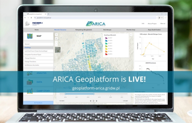
The ARICA Project's Geoplatform is now live! This state-of-the-art platform integrates geospatial and environmental analysis of refugee/IDP camp areas based on HR/VHR satellite data.
It provides a better understanding of the spatial context of observed results and phenomena, with non-spatial data closely related to corresponding spatial outputs and easily accessible for platform users. Camp Stories integrated in the platform bring a narrative dimension to environmental and socio-geographical analyses.
Explore the platform at https://geoplatform-arica.gridw.pl